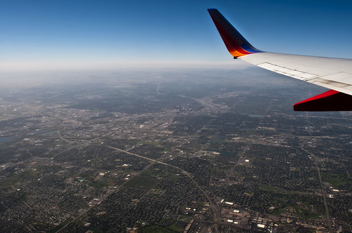
So I recently figured out how to make photos taken out of the shitty plastic windows on a standard commuter jet somewhat passable. This was great because following an experience several years ago I had all but given up. However, upon returning from LA a week or two ago (its tough to remember with the end of the quarter happening at the same time) I discovered some adjustments in camera RAW that remove a good majority of the haziness.
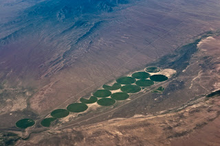
Setting out this morning, I resolved to try Aerial photos again. Throughout the 2-3 hour flight to Oakland I shot whenever something caught my eye out the window. its a shame that the flight path didn't go over southern Utah, but I think I got some decent stuff. One thing I was proud of was that I was able to photograph features that I could either recognize or later geo-refference (coordinates next to each photo's name/description. if you copy/paste into Google maps you will see the photographed feature)

Denver 39.742359,-105.004807

Golden, CO 39.756903,-105.222988

Dillon, CO 39.630191,-106.044016
Other places, mostly in California but I have no idea where.


